During the Bain Valley Survey an extensive flint scatter was located adjacent to the River Bain in Tattershall Thorpe just south of the parish boundary with Kirkby on Bain. As this field was due to be quarried an excavation was mounted in the spring of 1981. A second investigation took place in the winter of the same year. In 1984 a pit was excavated during quarrying and several evaluation trenches dug in a field on the eastern side of the river.
Several episodes of human activity were recognised during the excavations. The primary occupation dates to the Early Neolithic. This was followed by Late Neolithic/Early Bronze Age and then Late Bronze Age activity.
Three classes of Neolithic feature were identified; pits, post-holes and hearths. Pits were cylindrical in form approximately 40cm in diameter and up to 60cm deep. In common with all features discovered during the excavations these have been truncated as a result of ploughing by an unknown amount. Generally the pits were isolated although one group was found. Early Neolithic pottery from a minimum of seven vessels and over 100 flints were found in one pit together with charcoal and carbonised hazel nut shells. A radiocarbon date of (3776-3390 cal BC) was obtained from this burnt material.
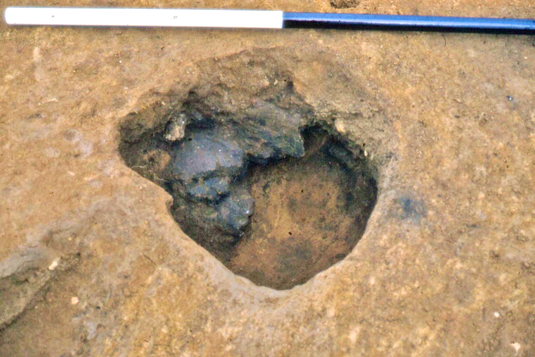
Neolithic Bowl pottery in pit
One of these pits contained a partially completed leaf-shaped arrowhead. A core and flake from different pits were found to conjoin suggesting that all four features were open at the same time. One isolated pit contained sherds of Grooved Ware pottery. Post-holes appeared to be randomly scattered over the excavated area. Post-Neolithic destruction through wind erosion and ploughing has prevented the positive identification of buildings.
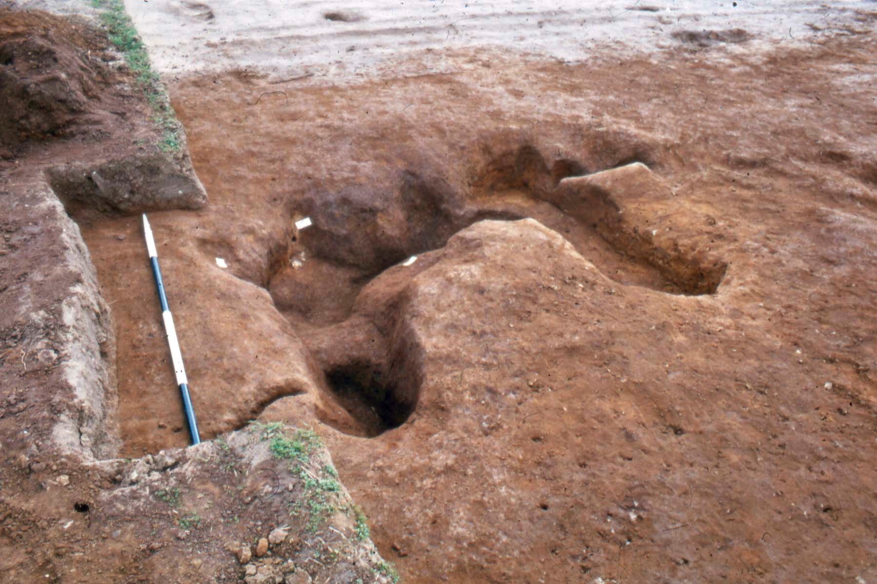
Foundation trench with postholes and Saxon grave, top right, the scale is in 50 cm segments
However, one alignment of post-holes was located. Here a series of at least five posts were found set into a foundation trench. The trench continued as a soil-mark and then as a shallow depression. The feature was cut by a Saxon grave. One post had been burnt in situ and provided a radiocarbon date of 4893-4530 cal BC. This foundation trench may represent the corner of an Early Neolithic structure. Unfortunately a Medieval plough furrow passed through the site immediately south of the possible structure effectively removing any Neolithic features that may have existed in this area.
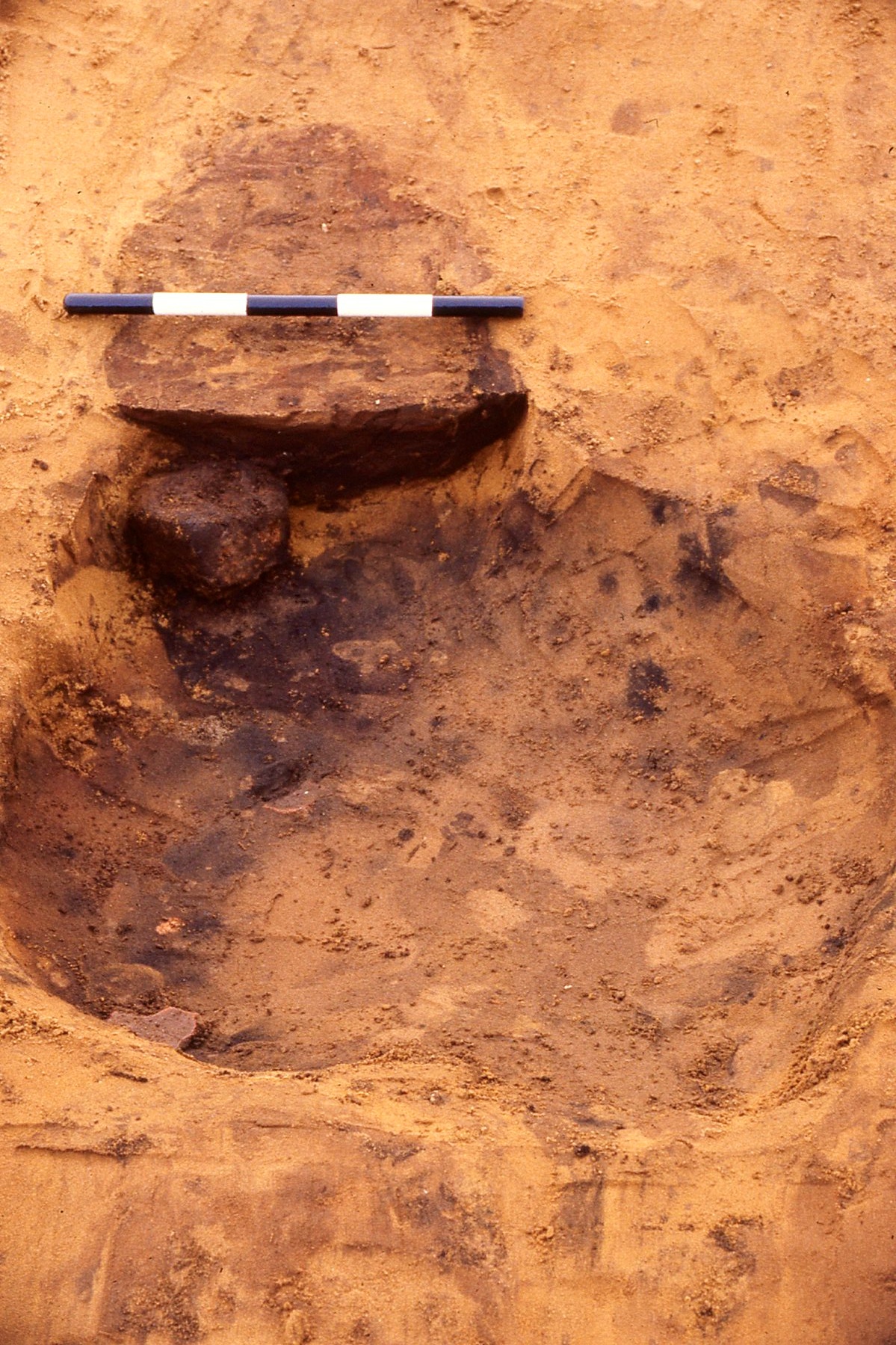
Late Bronze Age pit with loom weight in situ
Two types of hearth were identified; two clay built structures and a circular depression packed with fire-cracked flint and river pebbles. The clay hearths are undated but were certainly pre Medieval. Evidence for Bronze Age activity was confined to two pits and a general scatter of abraded pottery. A pit contained the base of a flat-bottomed jar which probably dates to the Later Bronze Age and is contemporary with pottery found in a pit during quarrying in 1984 at the northern end of the field. Also in this pit was a complete, though very friable, pyramidal loom weight typical of the Later Bronze Age.
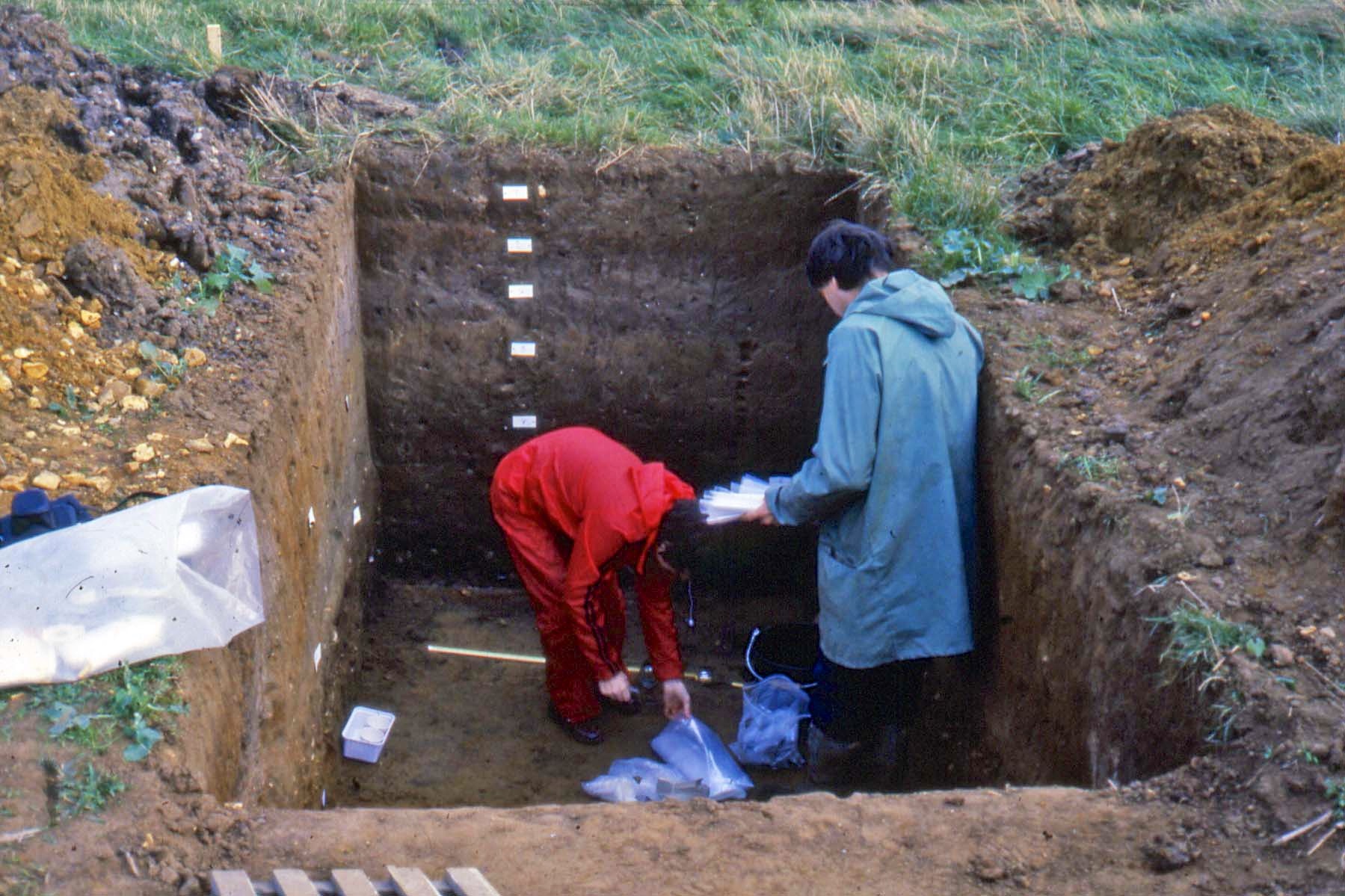
Environmental sampling trench adjacent to the River Bain
Whilst the main excavation area was frozen a number trenches were cut adjacent to the river to obtain samples for environmental analysis. It was hoped that waterlogged deposits would be found and that faunal material would be preserved in the less acid alluviated layers. Unfortunately the layers were oxidised and only the layer below the current water table contained waterlogged wood. A sample of elm from this deposit yielded a radiocarbon date of 3370-2910 cal BC. Sherds of Neolithic and Bronze Age pottery and flints, some with microwear polishes, were found in a buried soil above this layer.
Using the information from the environmental trenches and the main excavation area a general sequence for the development of the site can be suggested:
- Clearance early in the early fifth millennium BC
- Early Neolithic activity; pits and hearths, pottery and struck flint deposited
- Later Neolithic/Early Bronze Age activity; pit containing Grooved Ware, general scatter of struck flint with some possible Beaker pottery sherds. Dry period with soil formation on valley floor
- Extensive erosion, deposits of windblown sand
- Later Bronze Age pottery and loom weight deposited in pit
- Extensive erosion, deposits of windblown sand
- Scatter of Romano-British pottery, manuring?
- Saxon burial, early seventh century
- Medieval ridge and furrow
- Site totally destroyed 1983-86