Since 1973 English Heritage has supported surveys and excavations in the wetlands of England. The first of the major surveys was in the Somerset Levels from 1973 to 1987. This was followed by successive Fenland Projects from 1976 to 1996, the North West Wetlands Survey from 1990 to 1998 and the Humber Wetlands Project from 1992 to 2003. All of these major surveys have created a comprehensive record of the archaeology and ancient environments of the lowland wetlands of England and these have been documented in a series of detailed and synoptic volumes.
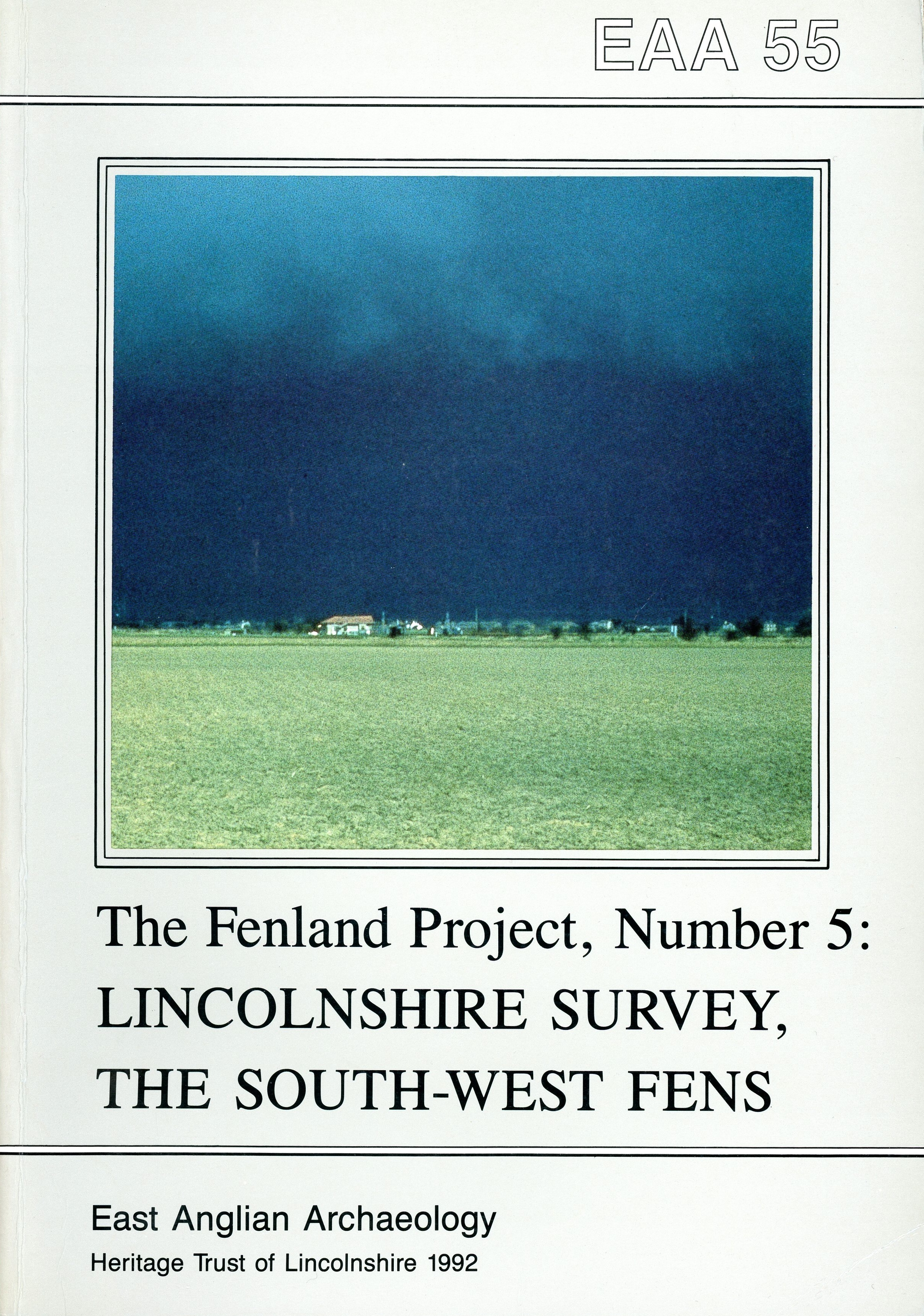 The first volume presents the results of the Fenland Project’s intensive survey in the western Fenland of Lincolnshire. The pre-Flandrian surface lies to the west of the surveyed area and shelves beneath marine clays which, in the south, are themselves overlaid by freshwater peat fens. Surface sediments in the east of the region are also marine, but take the form of silts rather than clays. Each of the four areas has a different chronological and environmental origin. Opportunities were therefore available to compare and contrast the presence on, and use of, these different landscapes by early communities. During three seasons of fieldwork many traces of human activity were recorded ranging in date from Mesolithic to medieval, and often to post-medieval. These have been supplemented by air photograph and documentary evidence and topographical data to provide the basis for the accounts within these volumes.
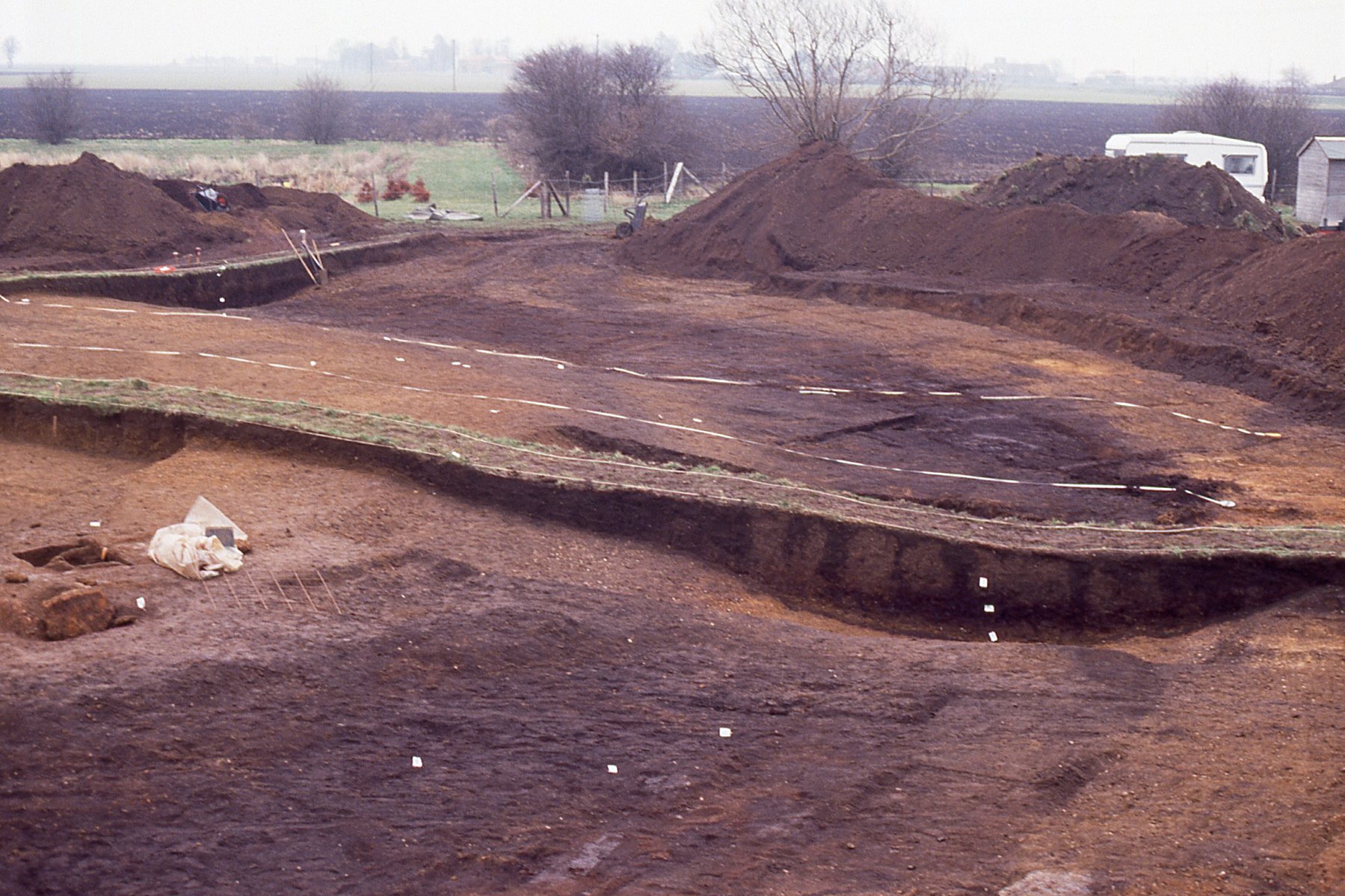
It was discovered that, apart from the difference in date between the pre-Flandrian, clay, silt and peat surfaces, another, initially less obvious, chronological variation existed. This was a division of the clay fens into a northern and southern zone with the incursions emanating from the Bicker Haven and Spalding areas respectively, and with several hundred years separating the two phases. Conveniently the boundary between the parishes of Hacconby and Morton marked the junction between the two environments. Of the two areas of clay fen, the southernmost is the older. Its second millennium BC origins pre-date the northern phase by up to 500 years. As might be expected, these areas have different archaeological remains. Having formed earlier and matured earlier, the southern clay zone has Iron Age settlement and saltmaking which in the north is mainly confined to the landward fen-edge.
The second publication detailing the results of the Fenland Project’s fieldwalking survey of the Lincolnshire Fenland deals with the northern fens and their margins. In addition, a small group of parishes at the southern end of the Witham Valley, and the coastal parish of Wrangle, are included.
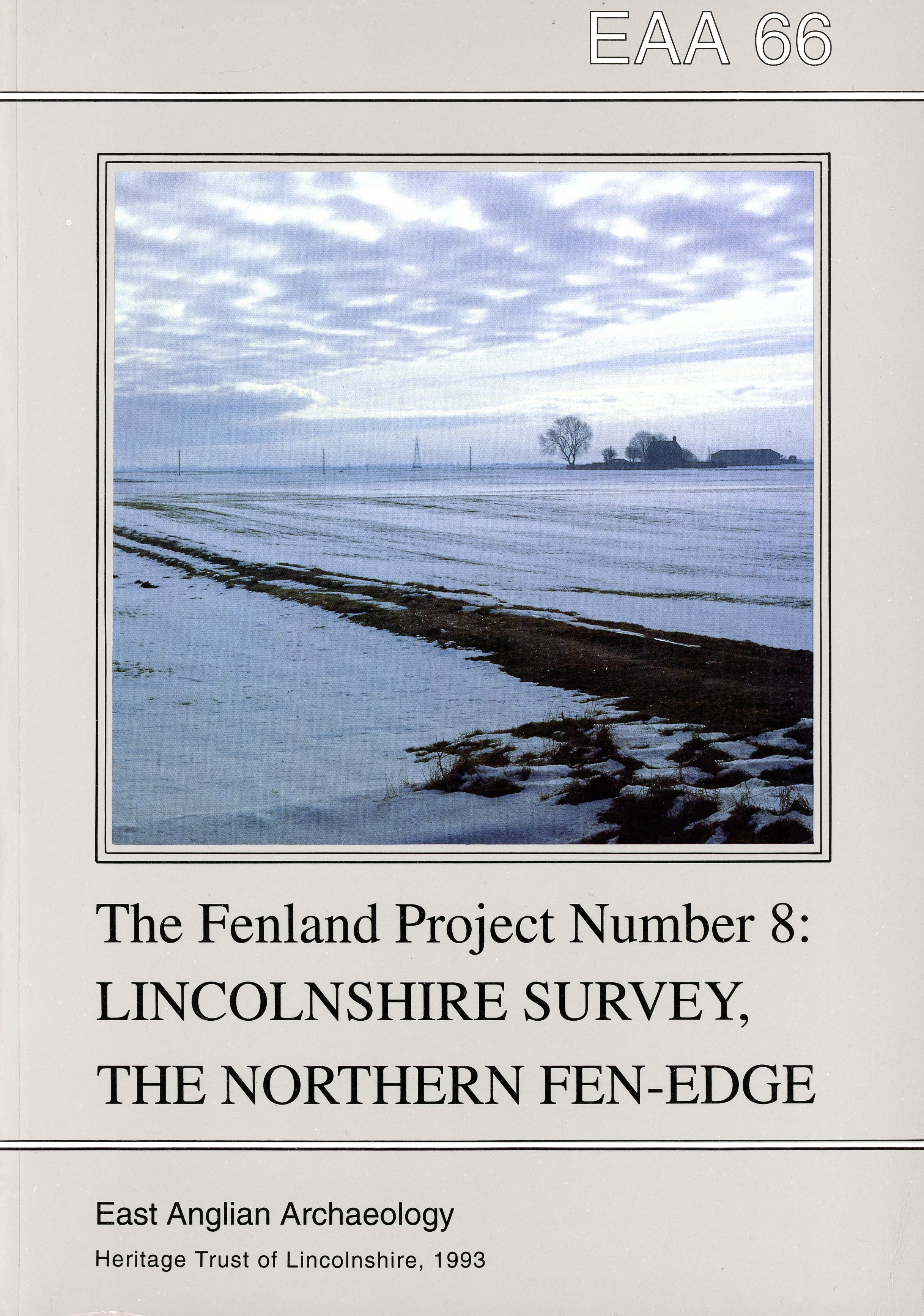
Survey in the north has offered the opportunity to compare and contrast the archaeology and palaeoenvironments of the north with those of the western margins of the Lincolnshire Fenland. Differences between the two have been striking. The northern fen-edge yielded a much greater quantity of presecond millennium BC material. In particular, its evidence for Mesolithic settlement far outweighs that recorded on the west. Small islands with Mesolithic and Neolithic flints have been exposed by shrinking peat in Midville and Dogdyke. Marine flooding arrived earlier in the north than the west and by the onset of the second millennium BC peat, followed by marine sediments, blanketed the low-lying areas. Within a few centuries a second marine phase affected East Fen and a third affected parts of Wrangle in the Iron Age. The focus of settlement shifted to the western fens in the middle part of the Bronze Age and the wide expanses of fen in the north served as a barrier to communications. Saltmaking sites were a feature of the Iron Age economy in Wrangle but other than this there is little evidence of activity immediately before the Roman conquest.
 This volume details the results of the Fenland Project’s palaeoenvironmental programme carried out between 1983 and 1989. The environmental work of the Project was designed specifically to complement the archaeological field survey programme, the results of which can be found in other volumes in this series. The overall aim of the Project has been to place the archaeological sites discovered by the field survey within their contemporary landscape. To this end the palaeoenvironmental programme concentrated exclusively on obtaining and collating information on the stratigraphy of the recent (Flandrian) deposits of Fenland.
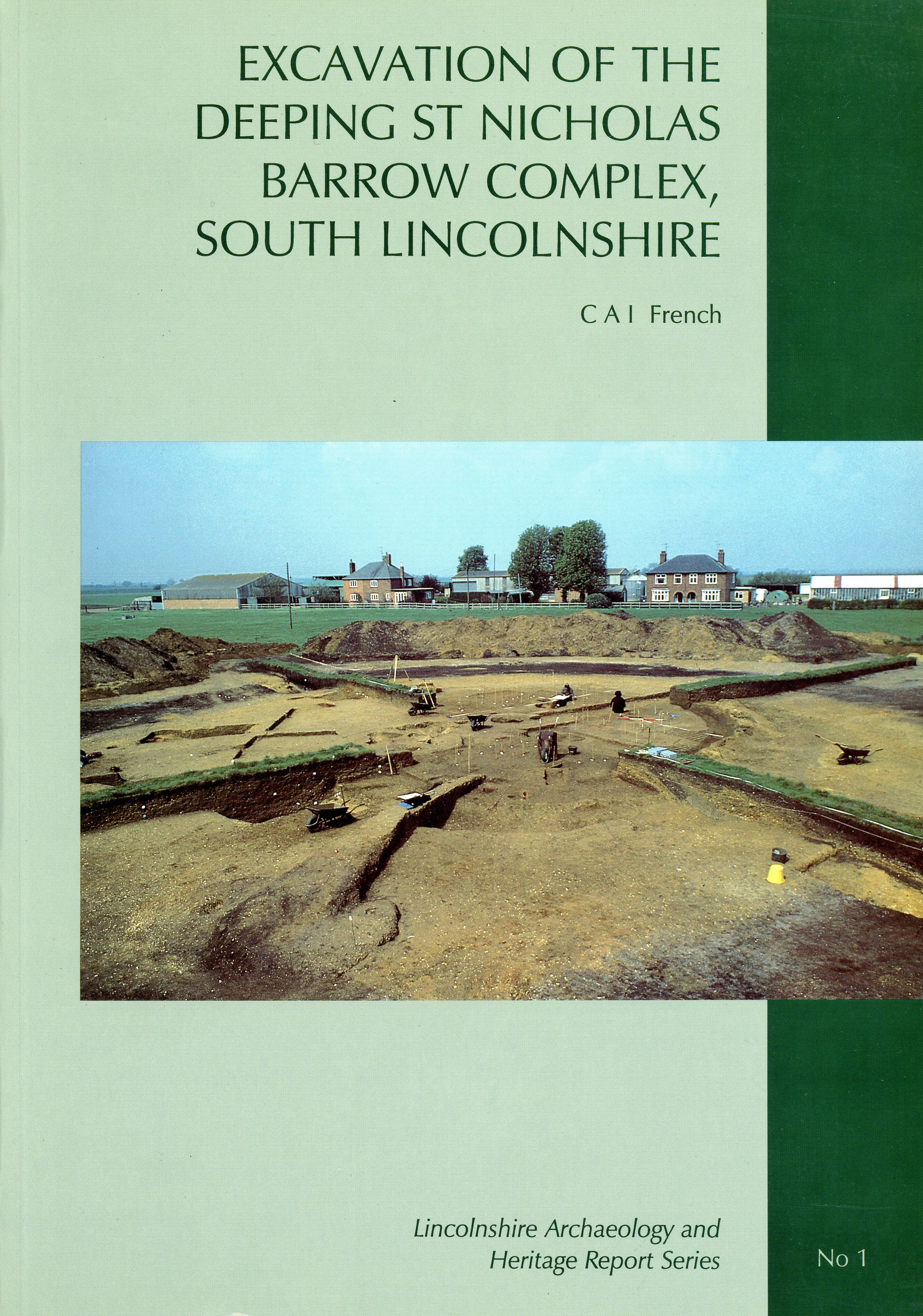 In 1994 the first excavation report was published. This was a detailed account of investigation of a Bronze Age barrow complex in Deeping St Nicholas. The excavation of this mound on a gravel promontory on the lower Welland valley/fen-edge interface of south Lincolnshire revealed a complex sequence of Early Bronze Age burial activity overlying evidence of Neolithic occupation and clearance activities. An initial pit inhumation of a young child surrounded by seven to nine rings of concentric stakes, probably of the very Early Bronze Age (cal BC 2030-1775), was closely superseded by an Early Bronze Age, gravel revetted earthen barrow about 20 m in diameter enclosed by a substantial ring-ditch. After a relatively brief period, this first barrow was remodelled by the excavation of a perimeter trench into which was set a continuous arrangement of posts. At the same time, a single, off-centre, crouched inhumation of a young adult woman (cal BC 1910-1675) was inserted in a pit, perhaps wrapped in a burial shroud clasped together by a string of four jet beads. Within memory of this event, the post-trench was removed over the length of the south-eastern quadrant and an adult male crouched inhumation (cal BC 1855-1525) inserted in a pit immediately adjacent to and outside of the female grave. Then the circuit of posts was closed again with much smaller posts.
 Shortly after this event, the whole monument was again remodelled. This entailed the excavation of a ring-ditch of greater diameter and the construction of a second earthen mound about 35 m in diameter with an external gravel revetment and wide berm. Integral with the revetment in the south-western quadrant was a group of two cists made out of slabs of naturally formed calcrete, each of which contained at least one cremation within a pit (cal BC 1740-1510), and another cremation in a Deverel Rimbury bucket urn placed immediately outside of each cist. Finally, the remains of six to ten cremated individuals were placed in six small pits inserted into the berm of the second mound in the south-western and south-eastern quadrants, including one which was a double cremation, one containing a triple cremation and one associated with collared urn.
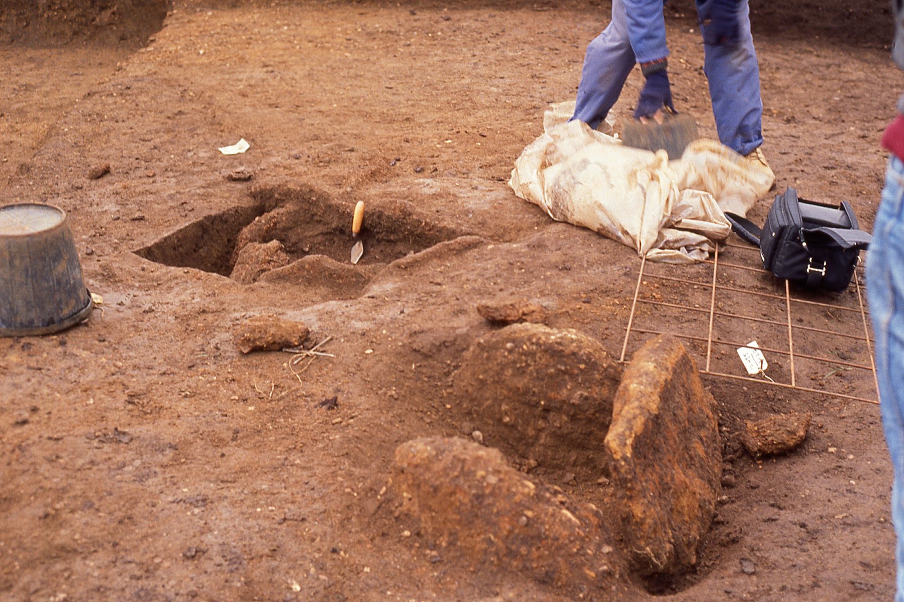
Stone cists
The mound was then left to weather naturally until peat encroached upon and engulfed it during the later Bronze Age (from cal BC 1260-1000). The site apparently remained undisturbed until later medieval times when the land was sufficiently well drained to set out a ridge and furrow arable field system over this part of the former fen-edge. The field in which the barrow is situated has remained as pasture for the past 73 years.
 The scope of this summary volume therefore includes basic data on all sites in the programme and brief summaries on the main result – some in advance of further analyses. It was felt that an early publication of the results was essential for archaeologists in East Anglia and Lincolnshire, who would otherwise have to wait some time before the completion of the integrated publication programme. This volume is therefore a work of reference for those who need it either for management or research purposes. It should be noted that some of the assessment investigations are only reported in this publication.
This is the only thematic volume produced for Lincolnshire. It is a massive book of over 500 pages and is essential reading for anyone interested in saltmaking. Within this volume are the results of excavations conducted on salt making sites in the Fenland of Eastern England as part of the English Heritage funded Fenland Management Project (FMP). The sites span almost a millennium between the Middle Iron Age and the end of the Roman period and chart the changes in the salt making procedures and equipment during that time.
Three principal sites were excavated, at Cowbit and Morton, Lincolnshire and Middleton, Norfolk. A saltmaker’s oven at Cowbit has an associated radiocarbon date of 185-95 cal BC, while Morton is early Roman and Middleton exclusively Late Roman. Iron Age and Roman briquetage from other FMP sites, often smaller evaluations with no saltern features recorded, has also been examined to enhance the information from the main sites. An Iron Age salt site at Langtoft, near Market Deeping, excavated in order to comply with a planning condition, has also been featured in advance of its final publication. Furthermore, briquetage collected on the Fenland Survey has been re-examined.
Despite the broad millennium timespan, similarities in the basic technique of first trapping then heating and evaporating tidal waters proved common to all the main sites. However, detailed study of the character and technology of the equipment used in obtaining the salt has revealed changes through time. Specific forms and styles of container and support pieces have been identified and a date range suggested for their use. The contemporary landscape of each site has been reconstructed from the numerous strands of environmental evidence retrieved. Finally, some recommendations for future research into coastal saltmaking are made.
This final volume reporting on the excavations undertaken as part of the English Heritage funded Fenland Management Project examines seven sites of prehistoric date situated chiefly in the margins of the Fenland in Lincolnshire. Only one site, Pinchbeck Fen Farm, operated out in the contemporary wetland and the true function of this interesting Iron Age site could not be interpreted.
To call these all wetland or fenland sites is, to some extent, missing the point. Sites, such as that at Dogdyke, were operational at a time before the influences of the wetland environments were felt. They have revealed themselves essentially as dryland later buried by marine alluvium. Indeed, Dogdyke ceased to function simply because it was overwhelmed by advancing wetlands. Between them the sites in the volume span the Mesolithic to the Iron Age, but the amount and quality of information retrieved from each site varies. Other than locations or presence/absence little has been added to our knowledge of the Mesolithic or Early Neolithic feature types. Within the remaining periods the quality and quantity of information has been mixed.
Given the scale of the excavations and their original purpose this is not surprising. In the majority of cases sites were investigated to test their potential for in-situ preservation. Few were found where that potential was high. Following long periods of intensive arable agriculture and drainage many former wet sites in the Fenland have reverted to their original ‘dryland’ status, some having been cultivated over many centuries and truncated by drains and dykes. Some, however, although dried out, have remained physically intact, enough to provide evidence of Bronze Age ploughing at Stickford and Dogdyke.
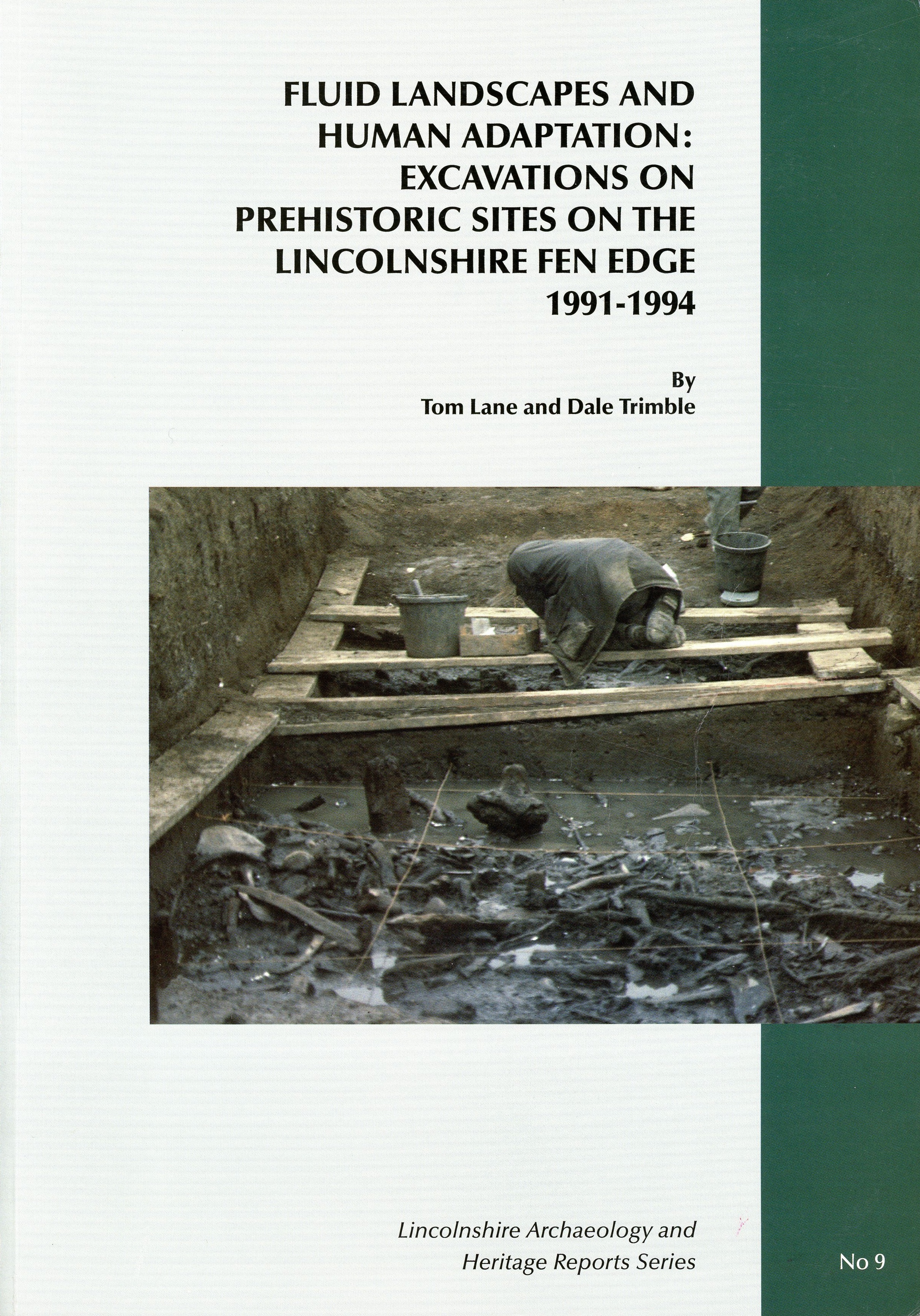
Only at Market Deeping was there true wet preservation. Here, refuse deposits from an adjacent settlement had been cast into a small stream channel that had at some time been cut off from the main network of braided streams. This has enabled study of Iron Age faunal remains and of the local environment. It has also revealed aspects of Iron Age timber technology and provided a rare opportunity to study a long sequence of well stratified Iron Age pottery. Evidence of saltmaking of Late Bronze Age date was found at Dowsby and Stickford and of Iron Age date at Market Deeping and Deeping St James. Dowsby also provided information on Early Bronze Age burial rites, while remains of a timber trackway were revealed at Dogdyke. The common thread in all of the sites is their relationship to the changing Fenland environment.
To read a review of this final volume in the Fenland Project series, go to the Resources / Downloads page.